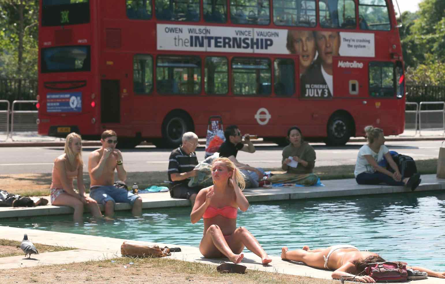
2018’s first UK heatwave is here! Britain will bask in sunshine and warm temperatures with the hottest day of the year forecast to heat up the country.
The mercury could rise to up to 8C above the average for April as the nation experiences a brief taste of summer – just weeks after the Beast from the East ripped across many areas,
Forecasters claim weather will be turning warmer as air is dragged up from the south, causing temperatures to rise as high as 25C by Thursday.
However, it could be quite blustery in places with cloud and rain poised to affect Wales, northern and western England, Scotland and Northern Ireland before the arrival of the sunshine.
The best weather on Tuesday will be in the south east, where temperatures of 18C or 19C could be recorded.
On Wednesday it will be mostly dry and sunny in many areas, but there will still be showers in Northern Ireland and the far north-west of Scotland.
But in many places, temperatures would climb to the low to mid-20s C especially in the Midlands and south-east of England.
Thursday is set to be the warmest day with highs of 25C predicted – making it the warmest day of the year so far.
With average maximum temperatures for April across the UK around 11.5C and around 13C for southern England, the rise in temperatures will be welcomed by many.
Thursday’s warm blast will see parts of the country recording higher temperatures than some European destinations, including the Costa del Sol in Spain at 21C and mainland Greece at 23C.
Warm and dry conditions look likely to remain into the weekend, but it may become a little cooler, and said there could be some rain pushing in from the west by Sunday.
A spokesperson for The Weather Channel said: “High pressure over southern Scandinavia will build westwards, keeping Atlantic low pressure at bay to the west and north of the British Isles.
“These lows will bring unsettled weather through to Wednesday, easing as the high builds in.
“A south-westerly flow around the high will bring warm tropical and temperatures will increase gradually peaking on Thursday. It will turn drier under high pressure towards the end of the week, but as it begins to retreat over the weekend, low pressure will push in once more bringing cooler temperatures and a return to unsettled conditions.”


