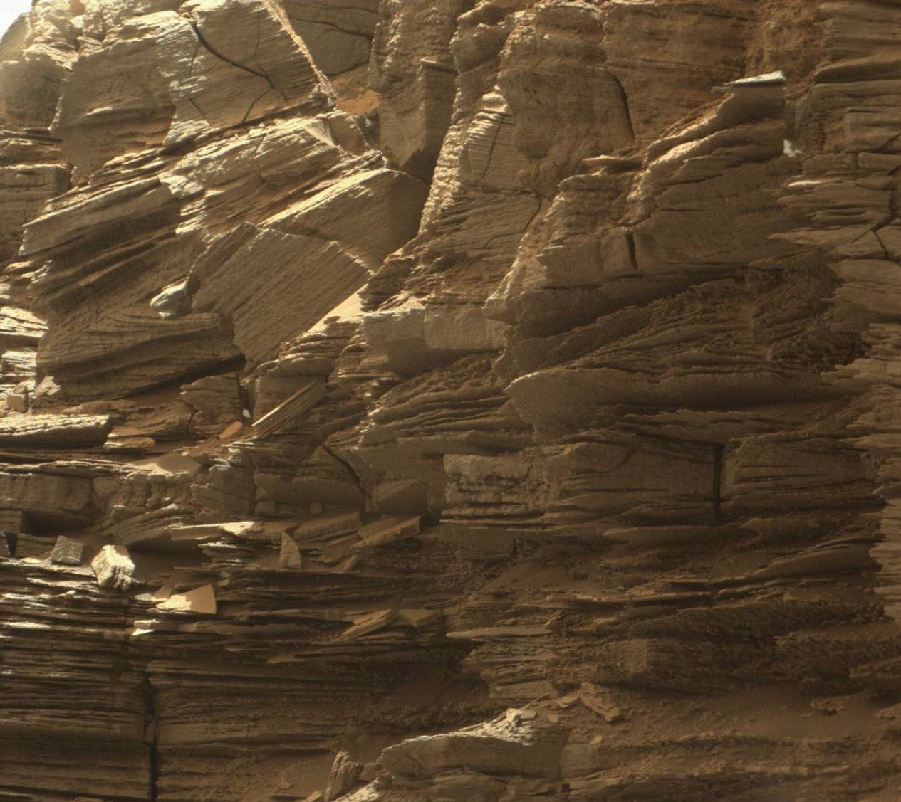
Curiosity rover sends first images of mars rock formations, the curiosity rover has spent the last few weeks in a region of Mars called “Murray Buttes” that apparently reveals “The layered geologic past of Mars”.
We’re not sure what’s in those layers, but NASA speculates that the image depicts “eroded remnants of ancient sandstone that originated when winds deposited sand after lower Mount Sharp had formed.”
Mount Sharp is the peak inside Gale Crater, home to the laser-wielding, nuclear-powered space tank, aka Curiosity, that humanity send to Mars to punch holes in the planet and figure out if it was ever a nice place to live.
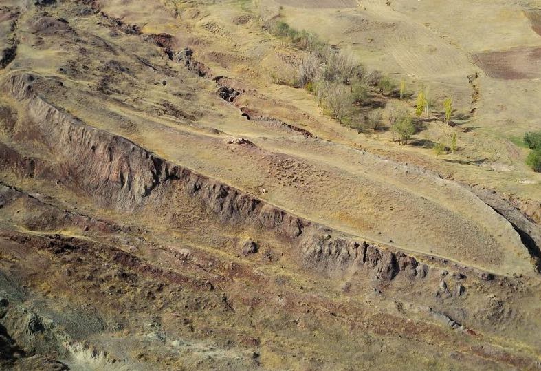
Curiosity project scientist Ashwin Vasavada said peering at the buttes “has given us a better understanding of ancient sand dunes that formed and were buried, chemically changed by groundwater, exhumed and eroded to form the landscape that we see today.” Vasavada also said the NASA team “has been just thrilled to go on this road trip through a bit of the American desert Southwest on Mars.” Because it’s not as if any other desert on Earth looks a bit like the spot below.
But we digress.
Curiosity’s been trundling past the buttes for about a month now, but drove clear of them late last week. Mission control now plans to climb Mount Sharp, because while NASA likes these big buttes the robot can’t lie around in one place forever if we are to learn more about the red planet. Before Curiosity ascends the mountain, it’s picked another drilling site so we can have another go at scratching the Martian surface.
The image was captured on September 8th and is a mosaic of a few snaps captured by Curiosity’s Mastcam. NASA plans to release a few more similar images in coming days.
Bertha R. Massie


