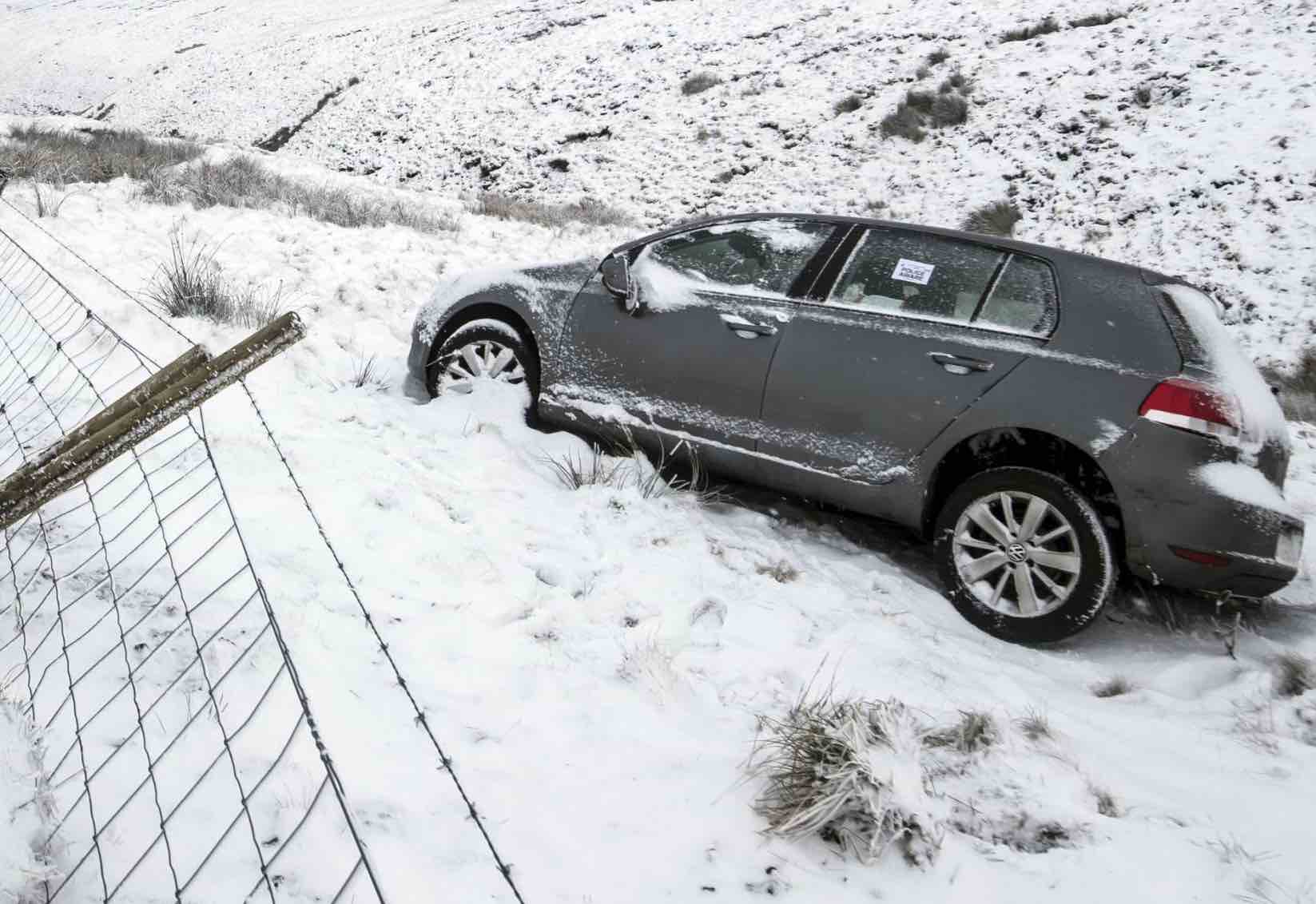
Continuing blizzard conditions will push the authorities to their limit, the transport minister warned yesterday as he urged motorists to leave their cars at home.
An updated official weather warning for snow and ice has been issued with more falls predicted and the risk of ice hazards.
A new warning for snow and ice covering the period until 11.55pm on Friday has been issued for large swathes of Scotland, northern Ireland, northern England, the Yorkshire & Humber region and the East Midlands.
Sow showers could persist through Thursday and Friday, although mainly of sleet and hail near some coasts.
⚠️ An official severe #weather warning for #SNOW and #ICE has been issued ⚠️ for #NorthernIreland, #Scotland and parts of #NorthernEngland from 11am this morning until very late on Friday 🌨 Travel delay likely: https://t.co/XKjmmK0OiE #ThursdayThoughts #WeatherAware pic.twitter.com/YWRS2AKb5b
— The Weather Channel UK (@weather_UK) January 18, 2018
Over exposed high ground, snow will drift in the strong winds and there is a chance of power cuts, while services such as mobile phone coverage may be affected, according the Met Office advice.
A few rural communities may become cut off. In addition some roads and pavements will turn icy, increasing the chances of accidents or injuries.
A Met Office statement read: “Snow showers will be heaviest and most frequent across western Scotland where a further 10-20 cm is likely to build up above 200-300m with 30cm possible over the very highest routes.
A yellow severe weather warning for #snow and #ice has been issued: https://t.co/QwDLMfRBfs Stay #weatheraware @metofficeuk pic.twitter.com/kqXR0ApkNk
— Met Office (@metoffice) January 18, 2018
“The high ground of Northern Ireland and northern England will also see 10-15 cm building up. At low levels, parts of the warning area will see 3-7 cm of snow but some places near the west coast will see very little.
“Showers will be accompanied by hail and lightning at times, particularly across western Scotland. Winds will strengthen at times, particularly from later Thursday, bringing the potential for temporary blizzard conditions and drifting on hills and mountains.”


